
- Maps And Pho…
- GISdata
- Sask Cadastral Dataset
The Sask Cadastral dataset consists of two separate products, each of which is designed to serve as the base for a range of applications, and is suitable for use in Geographic Information Systems (GIS) and Computer Aided Drawing (CAD) systems.
Click on the images below to view information on each product, including product specifications, pricing and maintenance options.
Click on the images below to view information on each product, including product specifications, pricing and maintenance options.
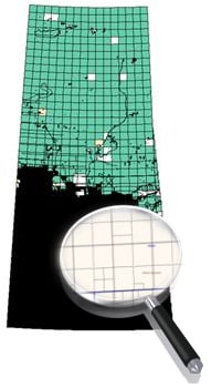 Surface Cadastral product page |
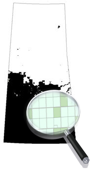 Mineral Cadastral product page |