
- Help
- Land
- Searches
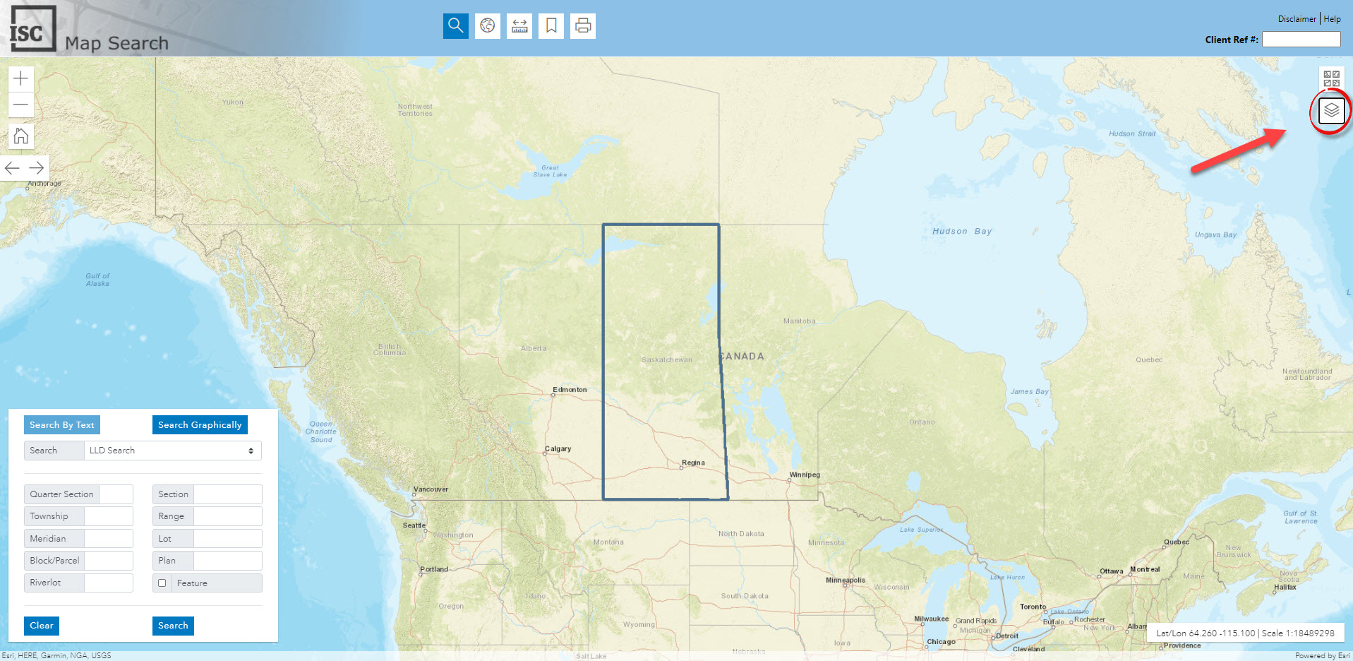
- Map Search
- How-to
- Layers
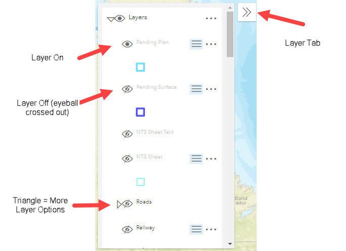
Layers can be found in the right hand corner of Map Search.
Turn on/off Layers
You can turn on/off layers by clicking on the eyeball to the left of the layer. Clicking on the triangle accesses more layer options.
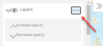
Opacity / Transparency
The map opacity/transparency feature allows you to view base maps and map layers at the same time. You can manually increase or decrease the opacity.
Layer Legend
This reference table provides a comprehensive listing of all layers used in Map Search, including samples and the maximum and minimum scales each layer can be viewed. Maximum and minimum scales are necessary in order to ensure our users from a broad range of customer sectors are able to view information clearly and quickly.
| Map Layer | Sample (click to enlarge) | Maximum Scale | Minimum Scale | |
| NTS Sheet Text | 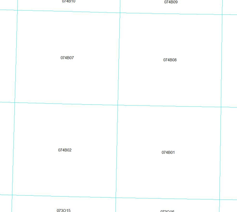 |
1:20,000 | 1:770,000 | |
| NTS Sheet |  |
1:20,000 | 1:5,000,000 | |
| Roads (1:320,000 – 1:500,000) | 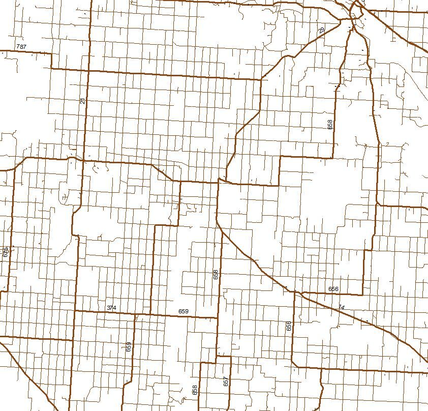 |
1:320,000 | 1:500,000 | |
| Roads (1:500,001 – 1:3,000,000) | 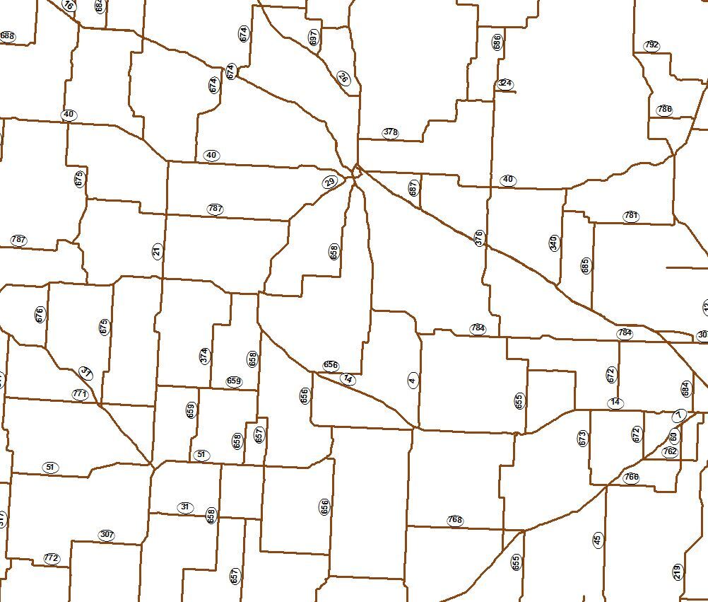 |
1:500,001 | 1:3,000,000 | |
| Roads (1:3,000,001 – 1:15,000,000) | 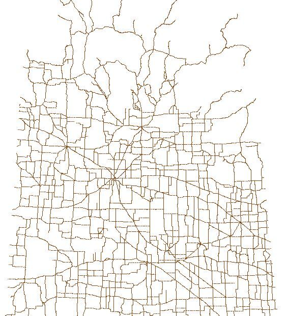 |
1:3,000,001 | 1:15,000,000 | |
| Railway | 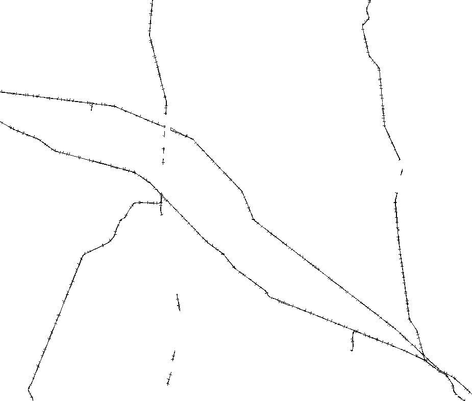 |
No Maximum | No Minimum | |
| Towns |  |
1:1,500,001 | 1:3,000,000 | |
| Rivers |  |
1:320,001 | No Minumum | |
| Lakes |  |
1:320,001 | No Minimum | |
| Cities (Polygons) | 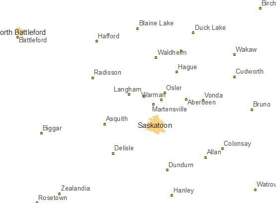 |
1:1,500,000 | 1:4,000,000 | |
| Cities (Points) | 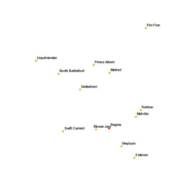 |
1:4,000,001 | No Minimum | |
| Street Names | 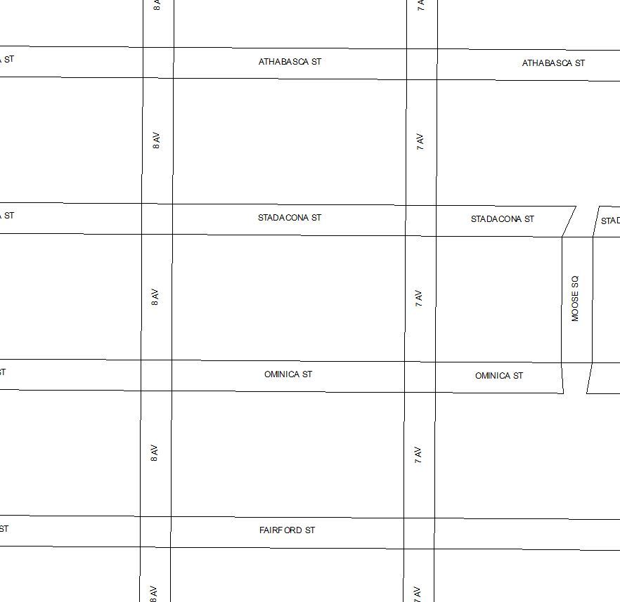 |
No Maximum | 1:15,000 | |
| Corner LLD |  |
No Maximum | 1:250,000 | |
| Tied Parcels | 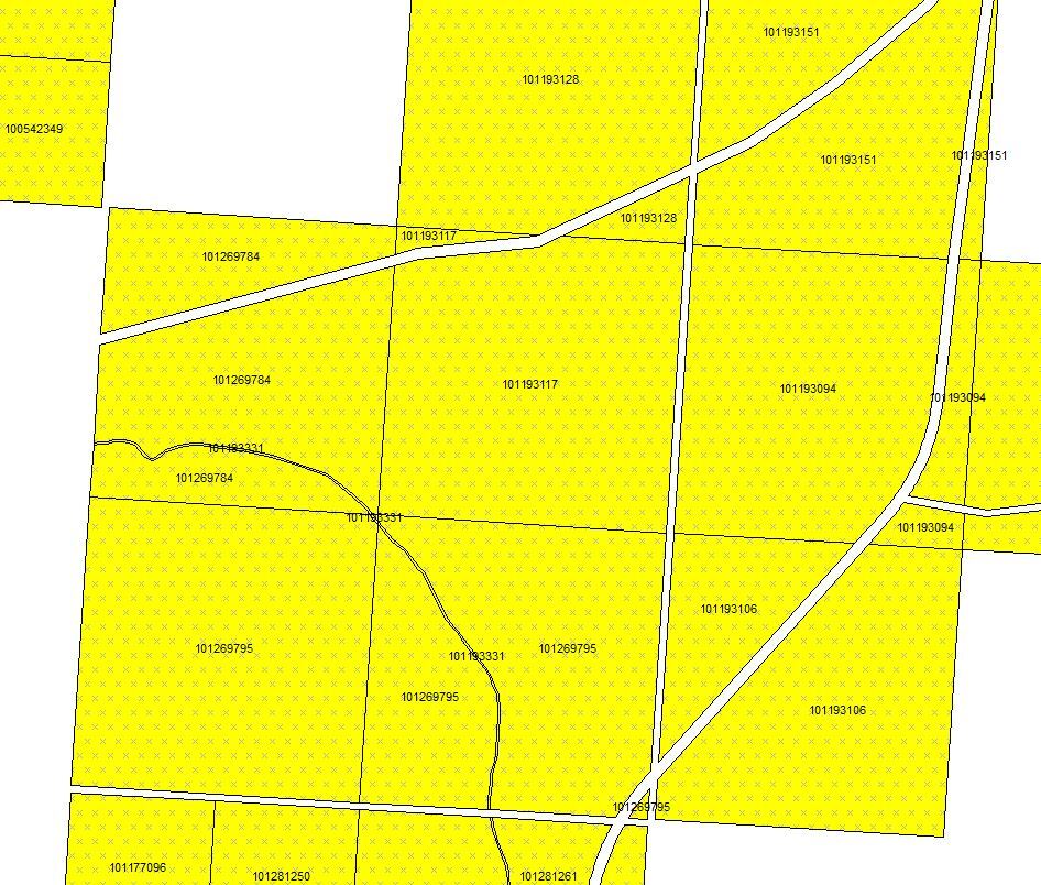 |
No Maximum | 1:30,000 | |
| Parcel Dimensions | 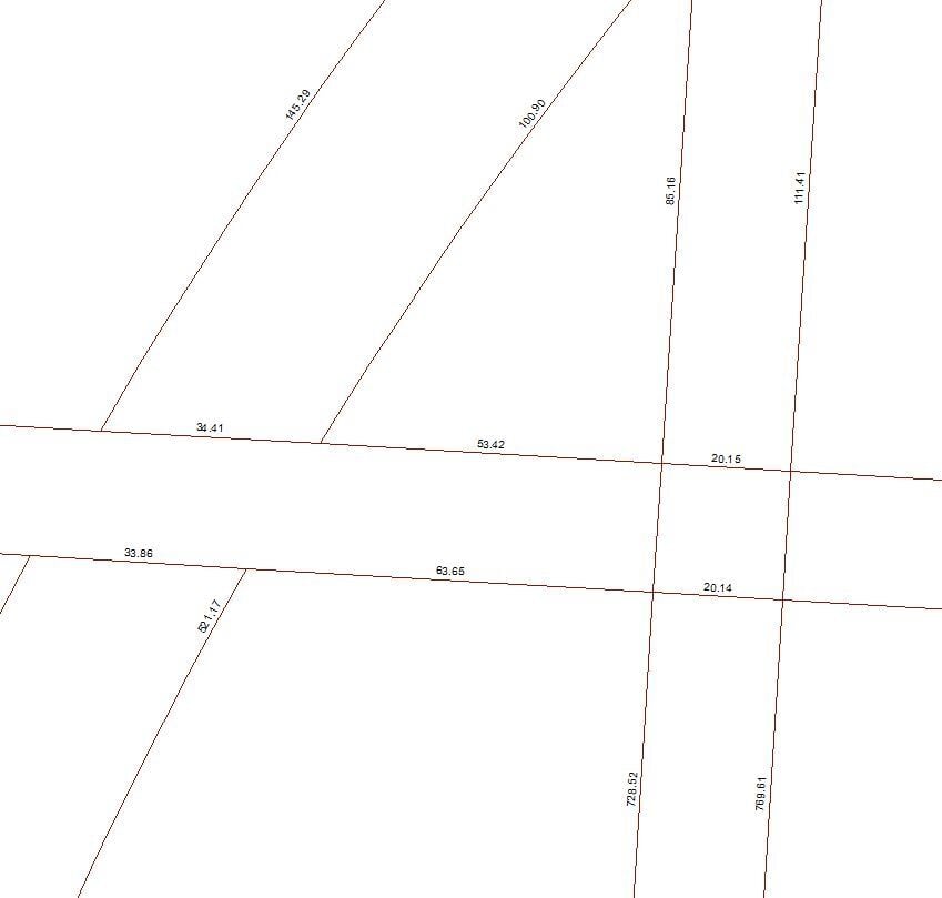 |
No Maximum | 1:20,000 | |
| Surface Parcel # | 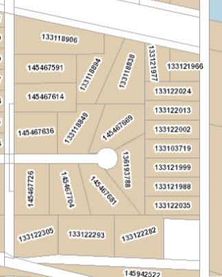 |
1:2,001 | 1:120,000 | |
| Surface (<1:12,000) | Abstract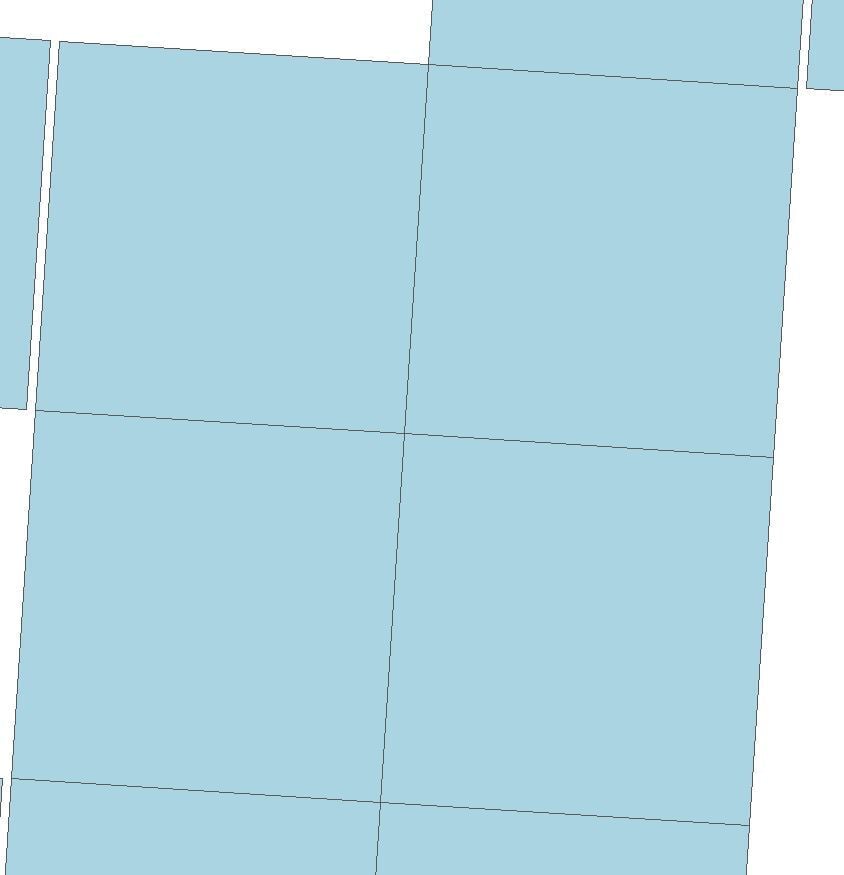 No Parcel Info 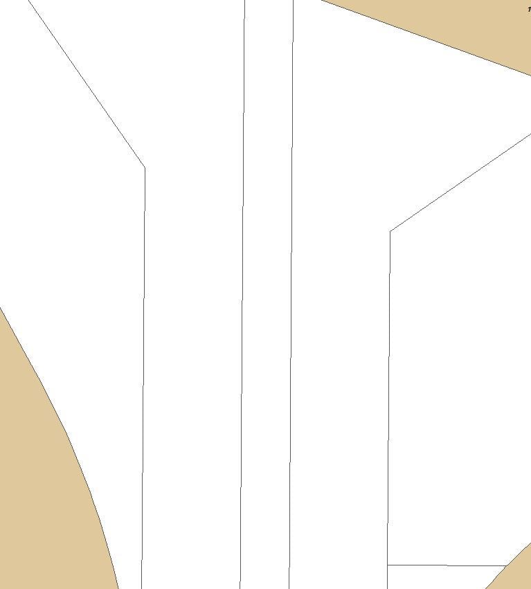 |
Titled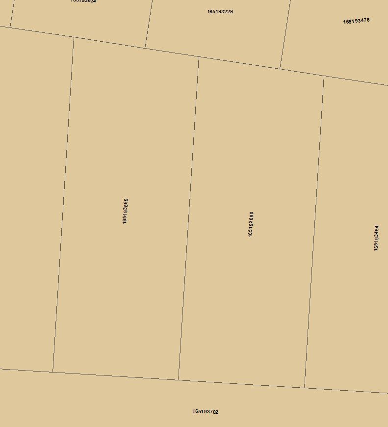 |
No Maximum | 1:11,999 Label - 1:2,000 |
| Surface (1:12,000 – 1:320,000) | Same as Surface (<1:12,000) | 1:12,000 | 1:320,000 | |
| Mineral Parcel # | 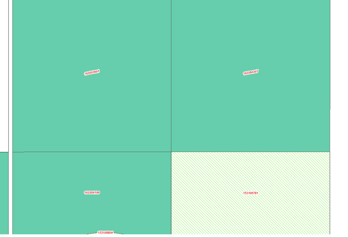 |
1:2,001 | 1:120,000 | |
| Mineral (<1:12,000) | Abstract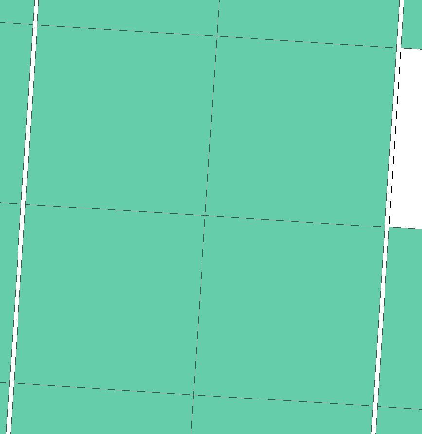 No Parcel Info 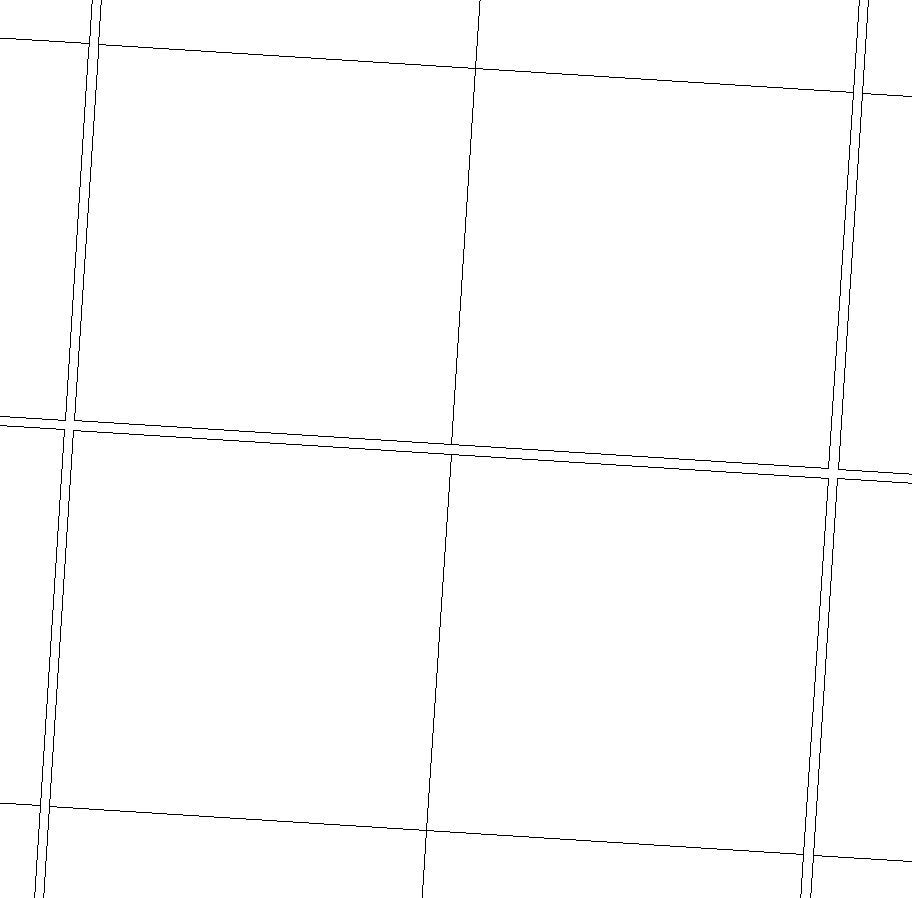 |
Titled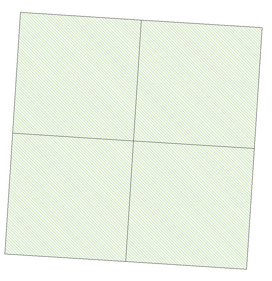 |
No Maximum | 1:11999 Label - 1:2,000 |
| Mineral (1:12,000 – 1:320,000) | Same as Mineral (<1:12,000) | 1:12,000 | 1:320,000 | |
| Feature | 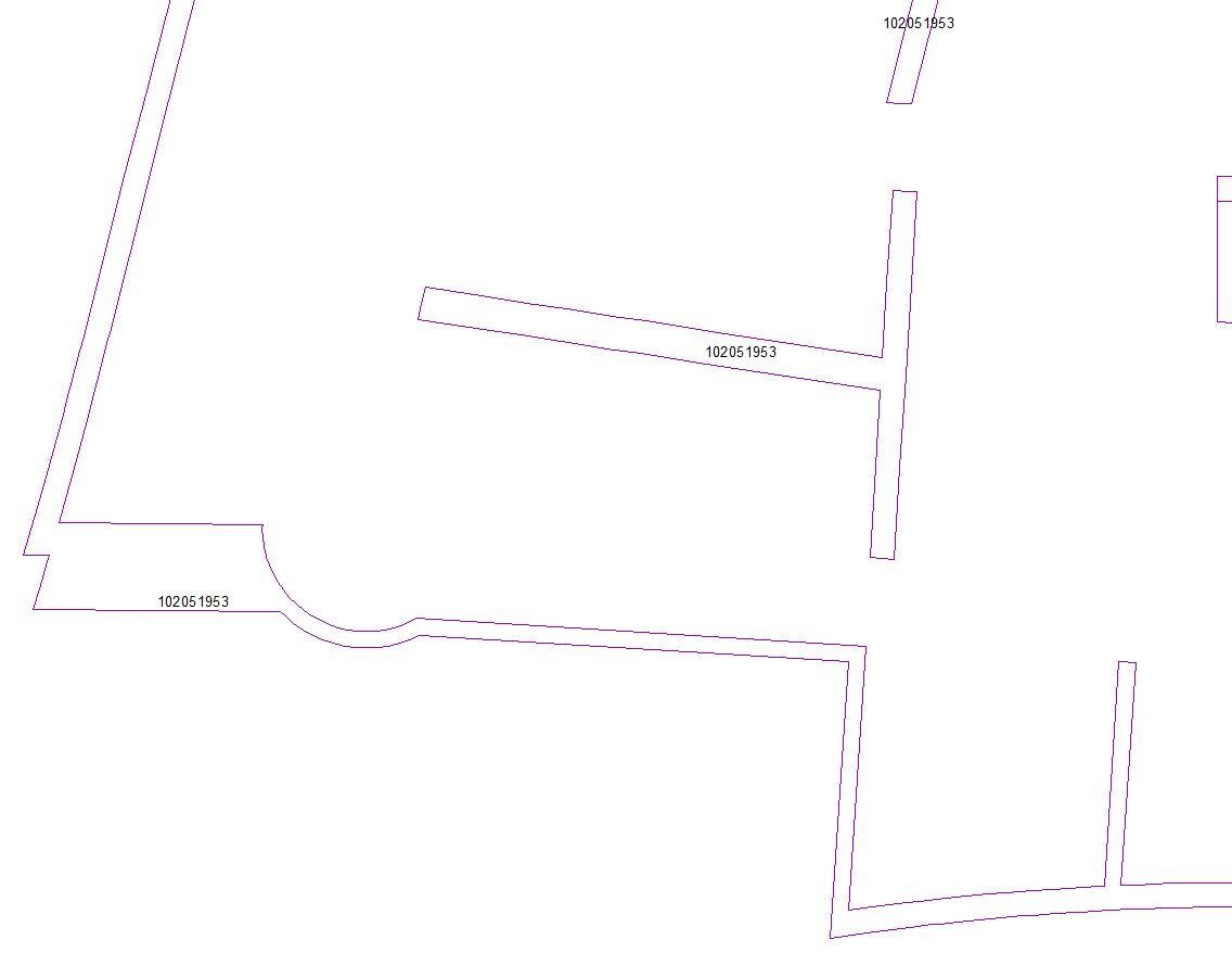 |
No Maximum | 1:320,000 Label - 1:75,000 |
|
| Lot |  |
No Maximum | 1:12,000 Label - 1:3,000 |
|
| Block/Parcel | 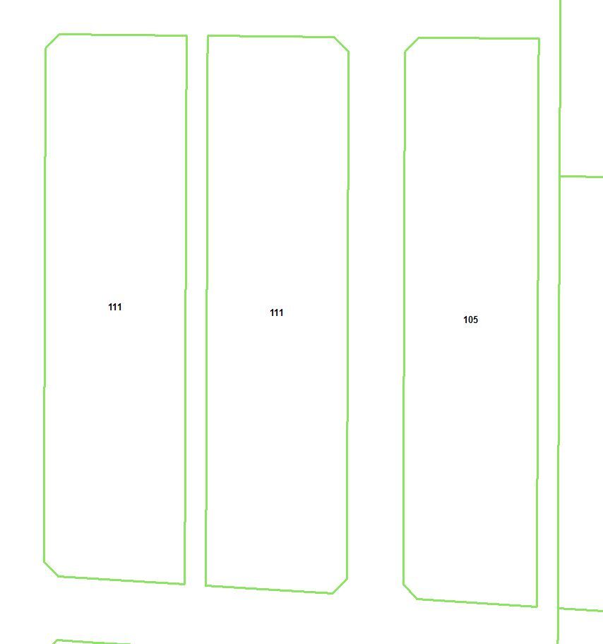 |
No Maximum | 1:20,000 | |
| Plan Outline (< 1:12,000) | 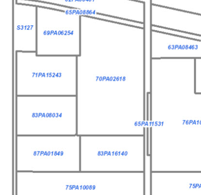 |
No Maximum | 1:11,999 | |
| Plan Outline (1:12,000 – 1:100,000) | 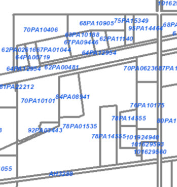 |
No Maximum | 1:100,000 | |
| Pending Plan | 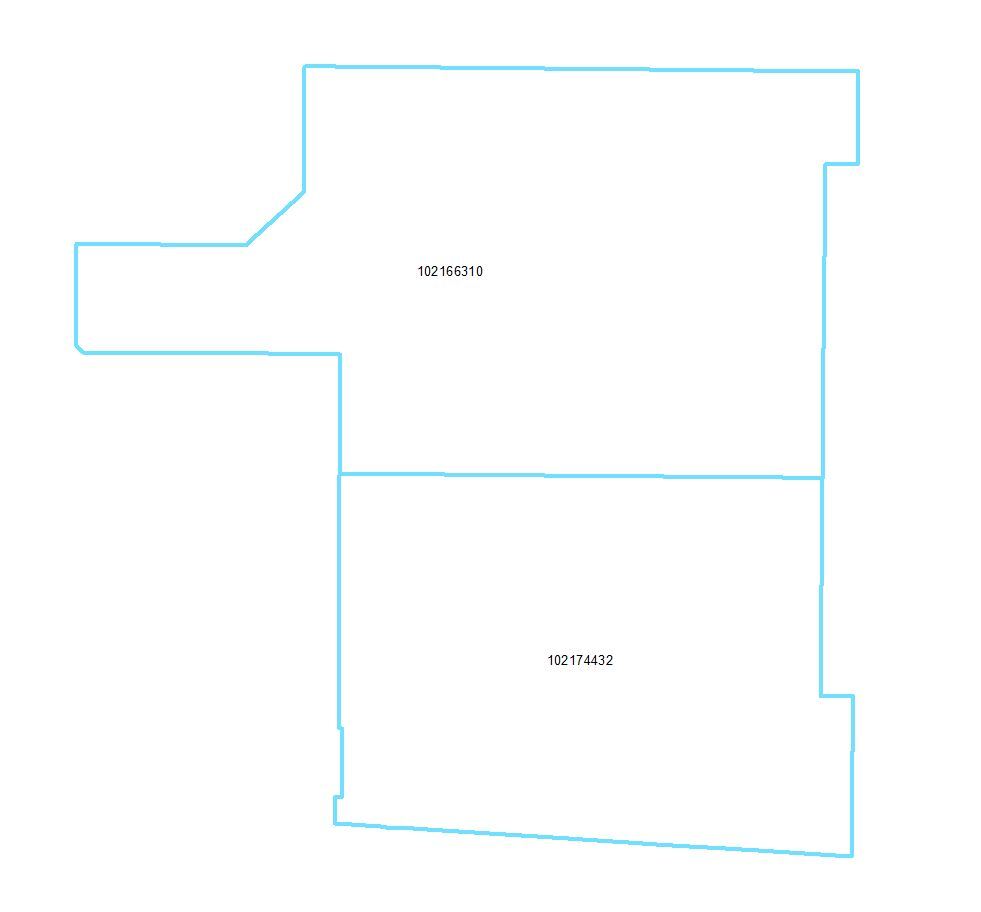 |
No Maximum | 1:100,000 | |
| Pending Surface | No Maximum | 10:10,000 | ||
| Indian Reserve | 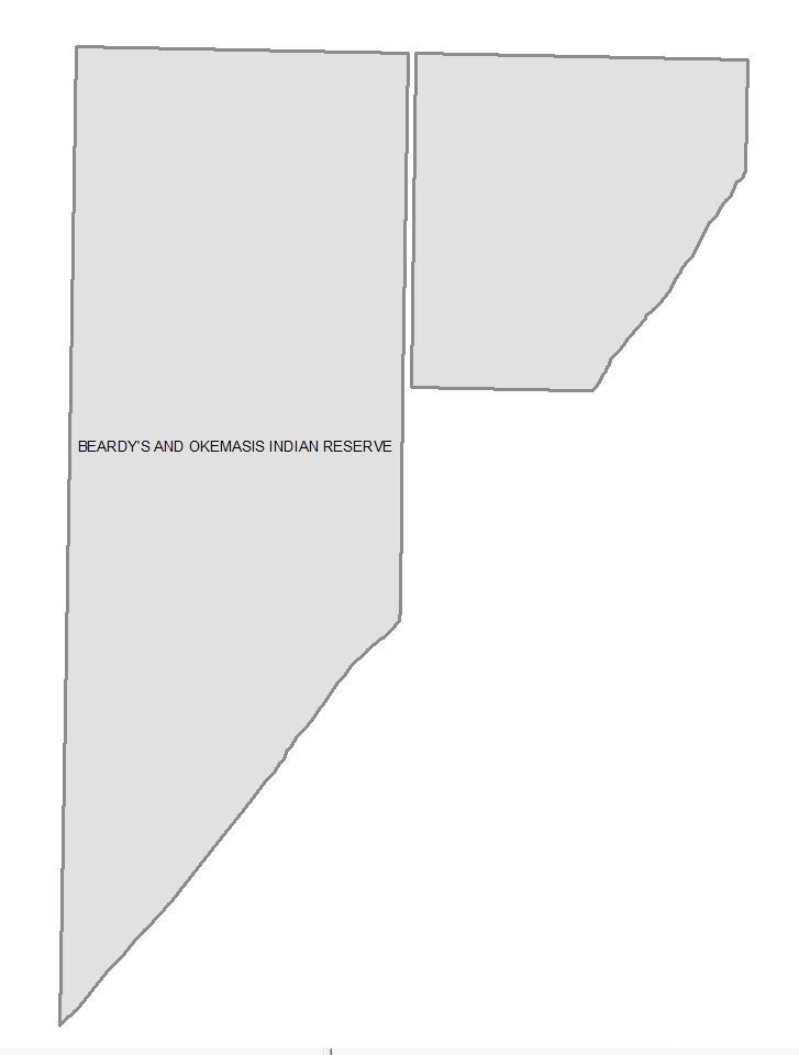 |
No Maximum | 1:5,000,000 Label - 1,000,000 |
|
| River Lot | 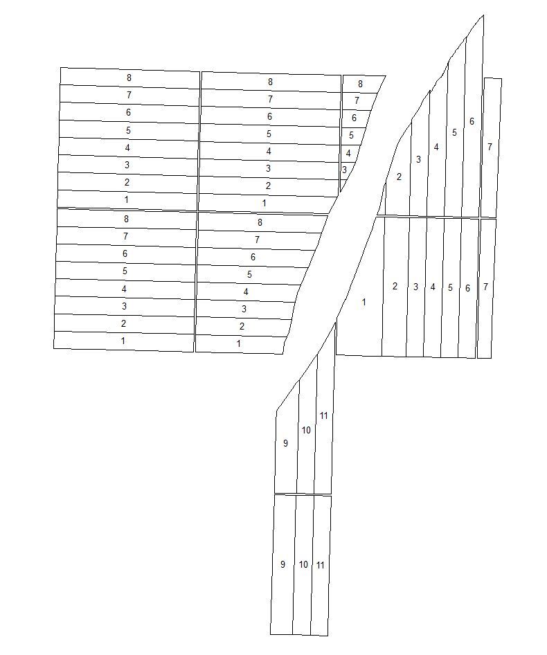 |
No Maximum | 1:120,000 | |
| Legal Subdivision | 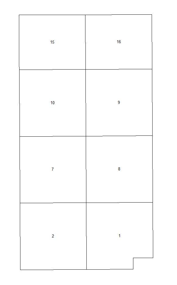 |
No Maximum | 1:120,000 | |
| Township (< 1:130,000) |  |
No Maximum | 1:129,999 | |
| Township (1:130,000 – 1:2,000,000) | Same as Township (< 1:130,000) | 1:130,000 | 1:2,000,000 Label - 1:750,000 |
|
| Section |  |
Label - 1:5,000 | 1:120,000 | |
| Quarter Section | 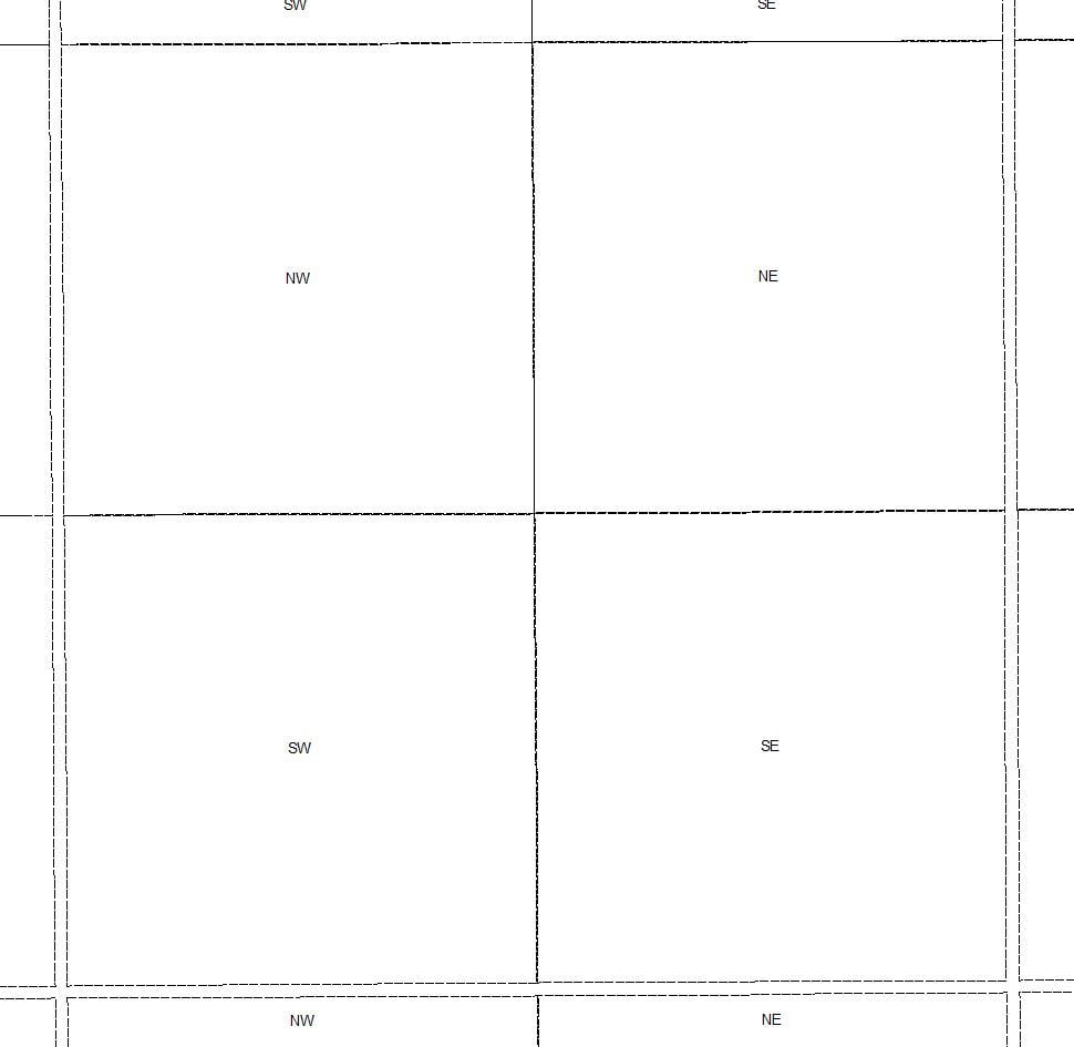 |
No Maximum | 1:120,000 Label - 1:20,000 |
|
| Parks (< 1:80,000) |  |
No Maximum | 1:79,999 | |
| Parks (1:80,000 – 1:7,000,000) | Same as Parks (< 1:80,000) | 1:80,000 | 1:7,000,000 Label - 1:1,000,000 |
|
| Rural Municipality | 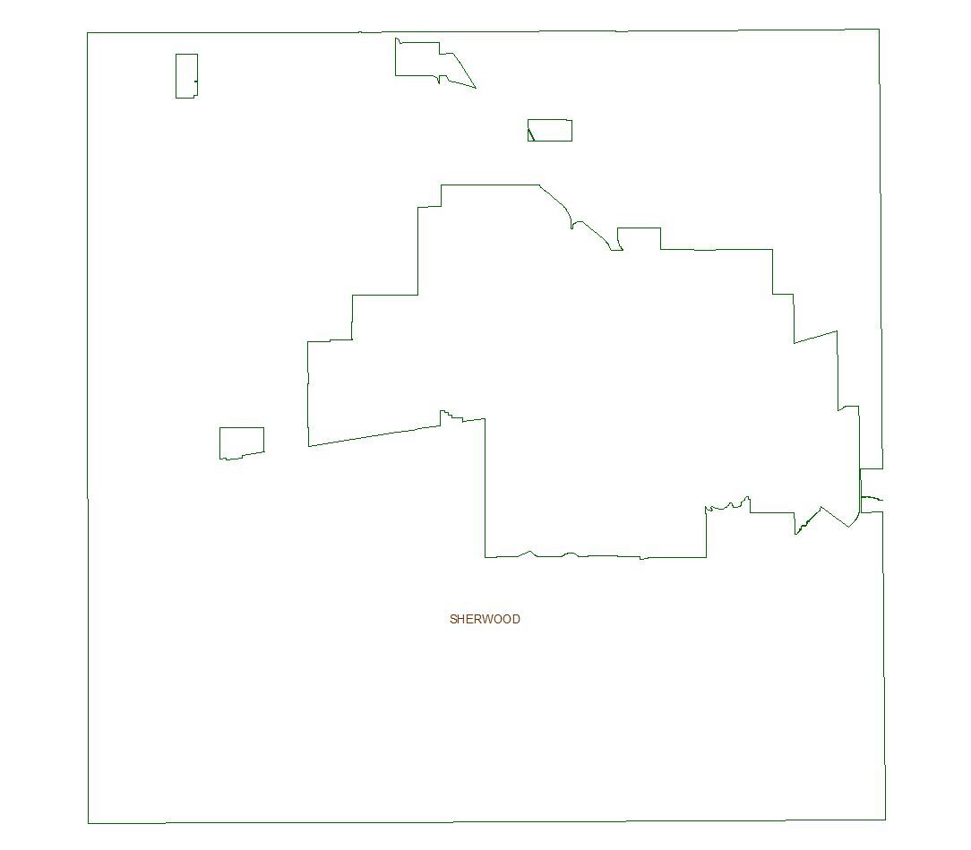 |
1:5,000 | 1:5,000,000 Label - 1:2,500,000 |
|
| Urban Municipality | 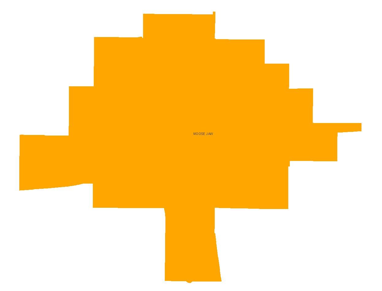 |
1:5,000 | 1:1,499,999 | |
| Provincial Boundary | 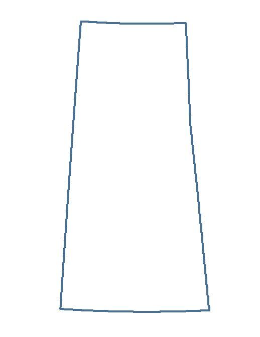 |
1:250,000 Label - 1:5,000,000 |
No Minimum | |